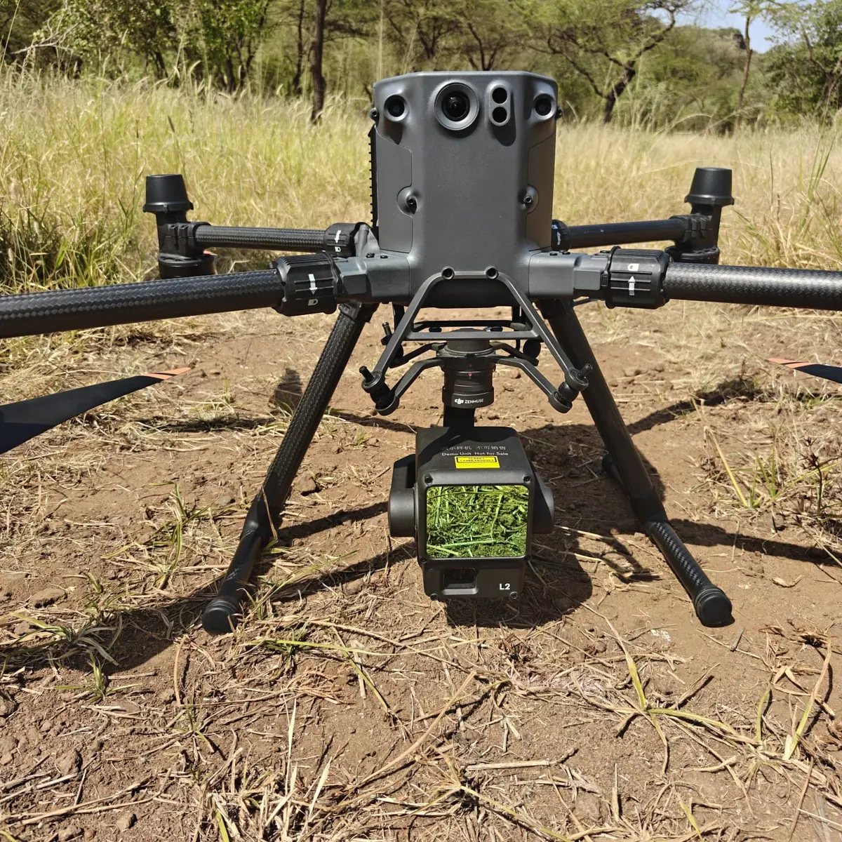
Drone LiDAR Survey
Rapid, detailed point-cloud and terrain capture for large, complex or difficult-to-access sites.
Learn more →
Surveying Africa with precision
SkyMap Africa delivers professional Drone LiDAR, topographical, engineering and GIS survey solutions that help teams design, build and manage with confidence.
Geospatial solutions
for a brighter Africa
Our core services
Rapid, detailed point-cloud and terrain capture for large, complex or difficult-to-access sites.
Learn more →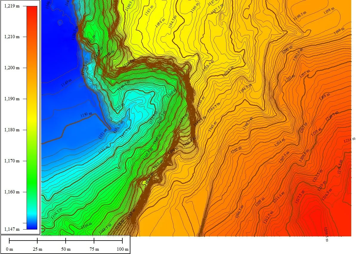
Accurate terrain, feature and elevation mapping for architecture, engineering and development.
Learn more →
Data capture, processing, analysis and clear map outputs that support faster decisions.
Learn more →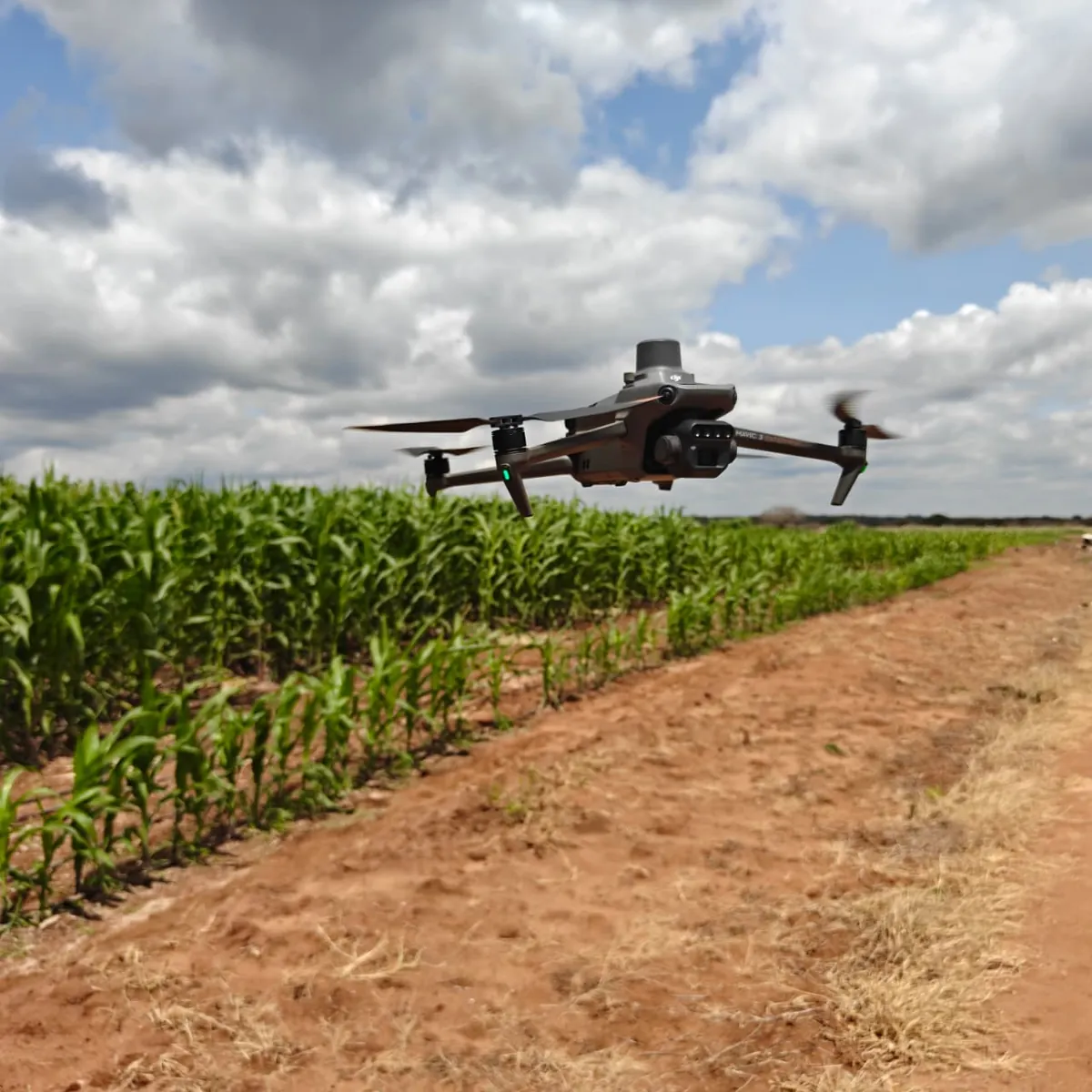
Multispectral and vegetation analysis for crop monitoring, field planning and targeted action.
Learn more →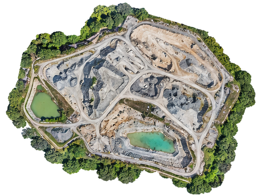
Repeatable stockpile, quarry and earthworks measurements with visual records and reports.
Learn more →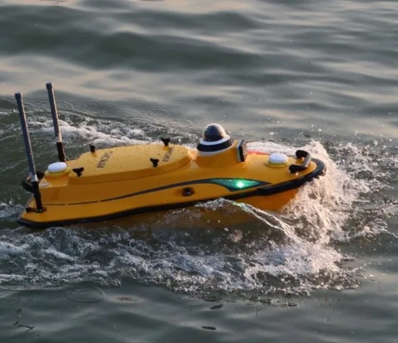
Hydrographic data capture for water depth, underwater terrain and reservoir or riverbed mapping.
Learn more →Why SkyMap Africa
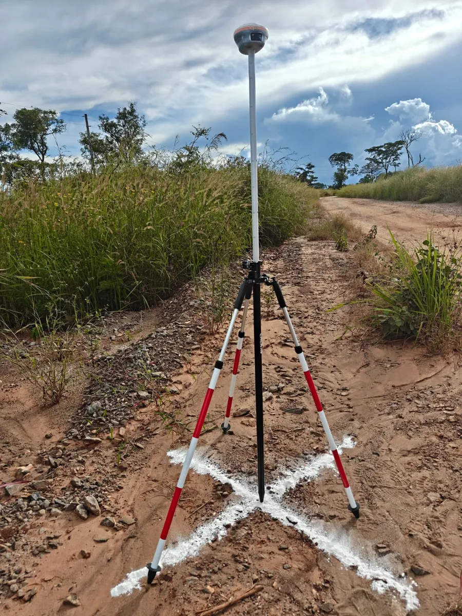
We combine ground control, GNSS/RTK, Total Station, photogrammetry, LiDAR and multispectral sensing to produce dependable spatial information for real project decisions.
What our clients say
“From start to finish, they were professional, friendly, helpful and easy to work with. We were very happy with the experience and the survey deliverables.”
“Best surveyors I have encountered yet.”
“The LiDAR drone survey carried out was excellently done!”
Tell us about the location, area, accuracy and deliverables you need.